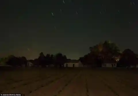
Undercover Roads
The secret 'Underground Railroad' network which led tens of thousands of slaves on 2,000 miles hikes to freedom ahead of the Civil War has finally been revealed 200 years on. A network of undercover roads, trails, shelter and safe houses, the paths were the only means for many to escape the South and journey to Canada and the free states of the North.

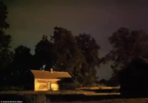
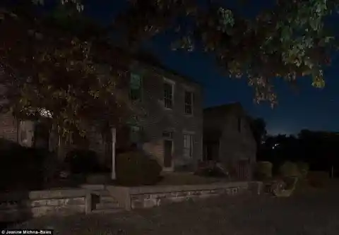
A network of undercover roads, trails, shelter and safe houses, the paths were the only means for many to escape the South and journey to Canada and the free states of the North. This barn in Centerville, Indiana, had a tunnel leading underneath that lead to another station on the railroad.
The Station
A stopover station was located on the Frogmore Plantation in Concordia Parish, Louisiana (above). Michna-Bales has painstakingly documented each step of the perilous journey many took through plantations, forests and swamps to sympathetic abolitionists and ultimately freedom.
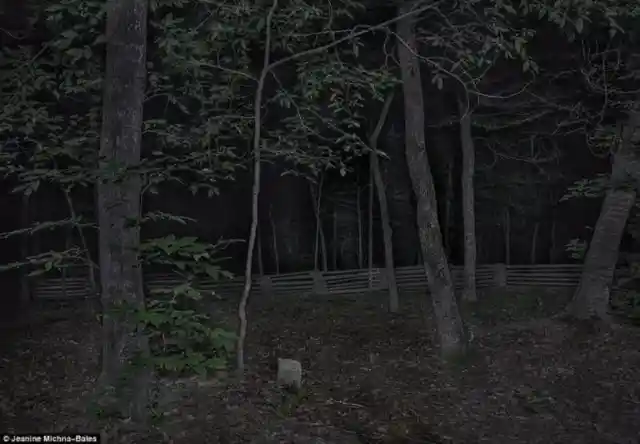
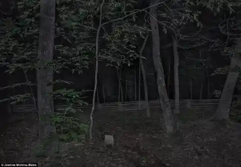
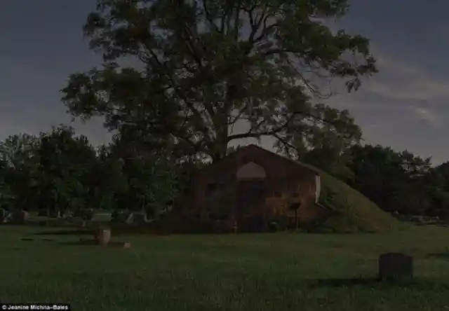
A Grave
Pictured center is a gravestone in a slave cemetery in Missouri, outside the Mount Locust Stand and Plantation.
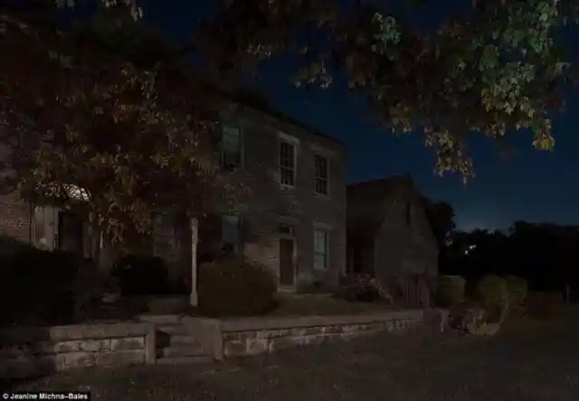
The Elias Conwell House
Over a course of months the artist has photographed many of the known routes - travelling on foot as the slaves would
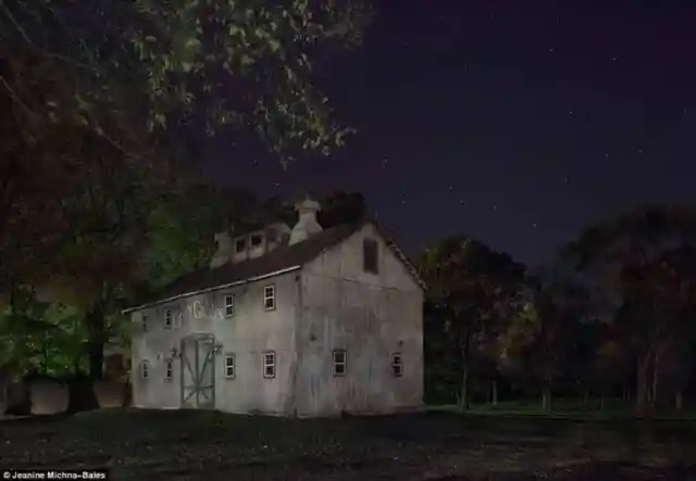
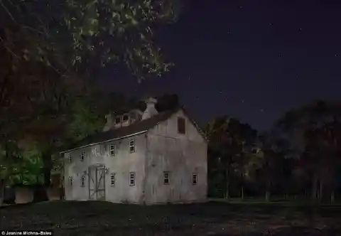
The Elias Conwell House in Napoloen, Indiana , along Old Michigan Road, was a major north-south artery between Kentucky and Michigan.
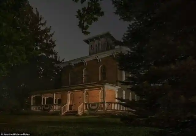
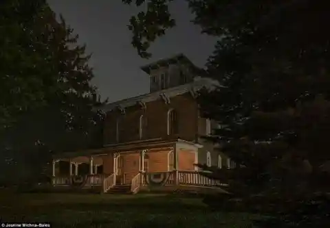
The Erastus Farnham House
The photographer's work is the first ever attempt to photograph the secret pathways which until now were only recorded in the historical written accounts of those who used them
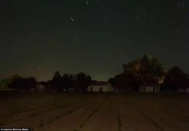
The Erastus Farnham House, south of Fremont, Indiana, is believed to have been a stop on the railroad.
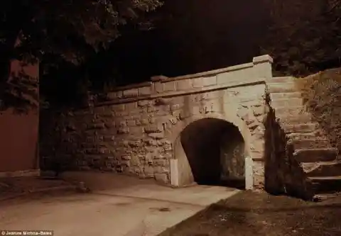
The Stone Arch Railroad Bridge
Many of those heroic figures or the 'conductors' who helped slaves escape, knew only their small part of the journey - with secrecy of paramount importance to protect others involved further down the line
Above is a the Stone Arch Railroad Bridge in Vernon, Indiana.
Barren County, Kentucky

The town had a series of tunnels that helped slaves evade capture while they were on the run.
It's believed that some of the slaves used to hide out in Barren County, Kentucky, (above) on their journey north.
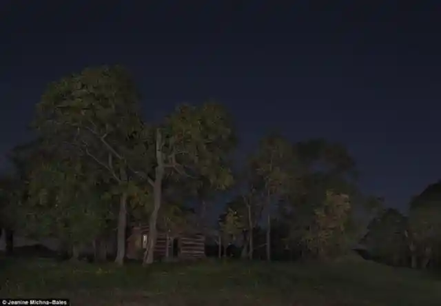
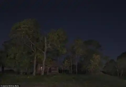
A Cabin

The Underground Railroad was first commonly referred to around 1839 but had existed, at least informally, for many years before
A cabin owned by James and Rachel Sullivan sits between the trees in Penville, Indiana.
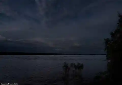
Dangerous Route
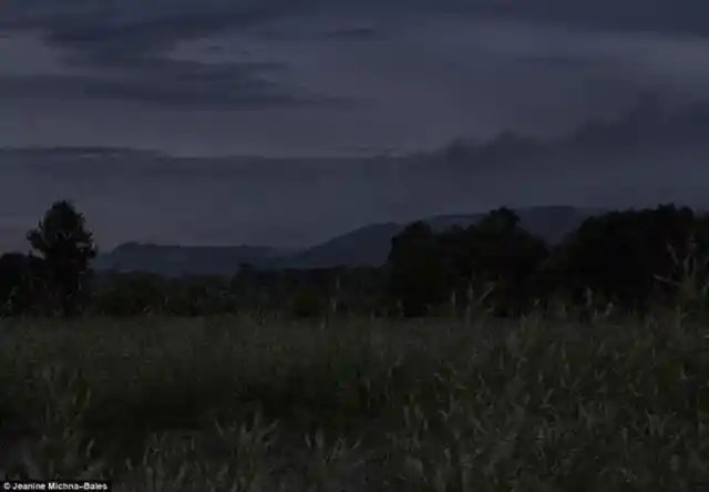
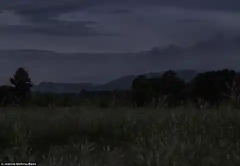
Many people on the route would help slaves hide from authorities, an act that could lead to arrest and even the death penalty
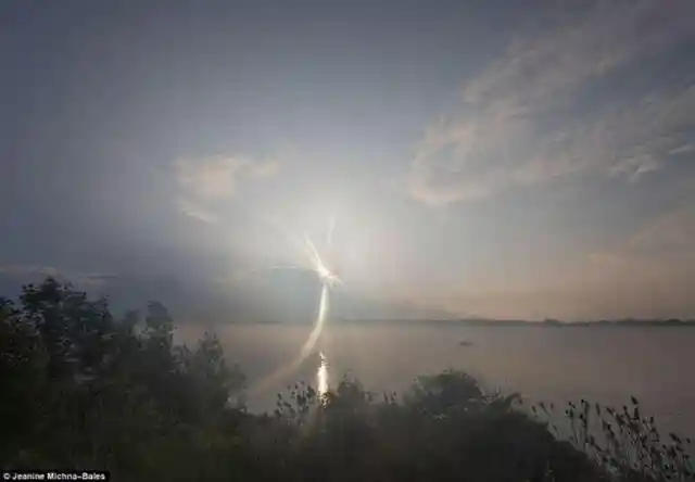
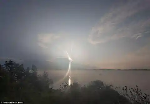
Moonlight shines on the Mississippi River in Tensas Parish, Louisiana.
Captain John Lowry’s Lodi
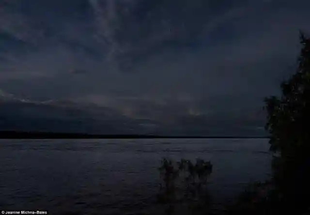
Many of the slaves vying for freedom had to cross dangerous sections of river on their route
Captain John Lowry’s Lodi property in Corner, Michigan, was one of the stops on the railway.
2,000 Miles Road

The groups of slaves usually traveled at night - taking refuge in safe houses or whatever shelter they could find along the way from one 'station' to the next.
Michna-Bales traveled 2,000 miles over three months at night breaking the journeys into 20 mile segments as slaves would have to do.
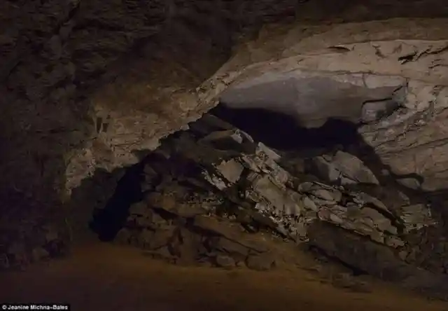
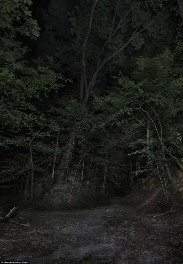
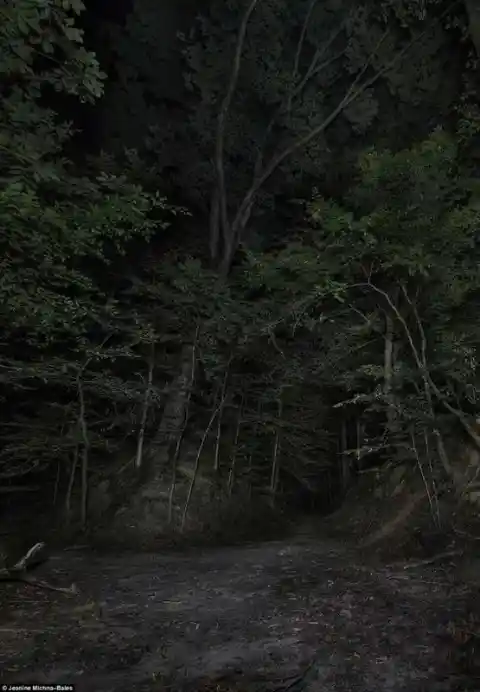
The Motivation
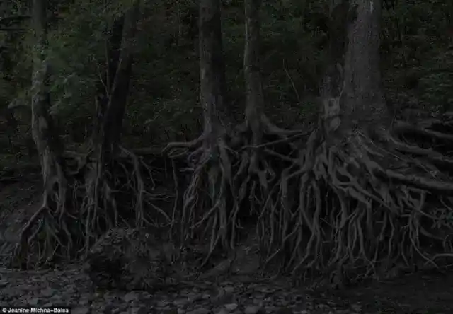
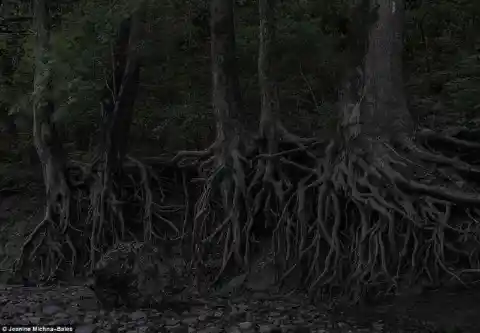
She encountered some heavily-forested areas like the one above which many of the slaves would have faced
Michna-Bales said she became fascinated with the idea that thousands of people walked thousands of miles just for their freedom.
Salvation
Supplies - including food, water and blankets - were often hidden for fleeing groups along the route
Many slaves personally attempted to flee - many further south - in bid to make it overseas.
Salvation
The Railroad north reached it's height by 1860 saving approximately 100,000
Bounty hunters were often dispatched by slave-owners trying to find their escaped slaves alongside federal marshals attempting to close the railroad down.
So many were forced to traverse dangerous sections of water